Place Menu
Place Display Panel from Agua Fria Watershed Display - one of 4 panels developed as companion exhibit to the Smithsonian Water/Ways Exhibit hosted in Black Canyon City.
-
- Upper Panel - Arizona Watersheds, Our Agua Fria Watershed, Riparian Zones
- Lower Panel - Types of Waters (Perennial, Intermediate, Ephemeral), Groundwater
Topics
- Home - Agua Fria Watershed
- Sleeping Giant documentary video - directed and produced by Walter Cronkite School of Journalism and Mass Communication students that really tells our story and sets up the Arizona Smithsonian Water/Ways.
- Arizona Watersheds - HUC 6 - Map and notes of 16 Arizona Watersheds
- Agua Fria Watershed - HUC 8 - Map and notes for the Agua Fria Watershed
- Article from Celebrating Arizona’s Rivers - Agua Fria River 2013 Prepared with assistance from the University of Arizona Water Resources Research Center.
- Sonoran Desert Riparian Cross-Section - Cross-Section graphic with zones identified
- Types of Water Ways -
- Description of the types of waters that in the Agua Fria water channels.
- Overview of the Wet-Dry Mapping used document the presence or absence of surface water.
- Resources for more information
Terms for Place Section
Aquifer - Arizona Administrative Code defines aquifer boundaries for Arizona - Section R18-11-502 - Aquifer Boundaries
Groundwater: Groundwater is water found underground in the cracks and spaces in soil, sand and rock
Hydrologic Units: The intent of defining hydrologic units (HU) for the Watershed Boundary Dataset is to establish a base-line drainage boundary framework, accounting for all land and surface areas.
The United States is divided and sub-divided into successively smaller hydrologic units which are classified into four levels: regions, sub-regions, units, and cataloging units. The hydrologic units are arranged or nested within each other, from the largest geographic area (regions) to the smallest geographic area (cataloging units). Each hydrologic unit is identified by a unique hydrologic unit code (HUC) consisting of two to eight digits based on the four levels of classification in the hydrologic unit system.
Resources: https://water.usgs.gov/GIS/huc.html and https://www.nrcs.usda.gov/wps/portal/nrcs/detail/?cid=nrcs143_021616
Riparian Zones: Areas bordering rivers and washes where the vegetation is dependent on the presence of groundwater. Riparian zones are nature’s water filter for our watersheds. Arizona riparian areas are less than 0.4% of Arizona's total area. See more at https://aquafriawatershed.org/places/riparian-zones
Watershed: These are areas of land in which water collects and, ultimately, drains into a waterway. The edges or boundaries of a watershed are the high points or mountains.
Resource: USGS School of Water explanation for Watersheds and Drainage Basins
Featured Photos for December 2020
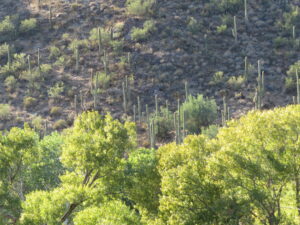
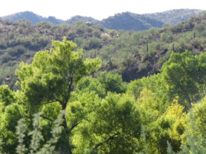
Agua Fria river area with the trees turning colors Fremont Cottonwood and Goodings Willow trees with the Saguaro forest in the background


